Understanding Archaeology through Remote Sensing Exhibition
The Middle East and North Africa (MENA) region contains hundreds of thousands of important archaeological sites, from prehistory to past classical civilisations and more recent cultural heritage.
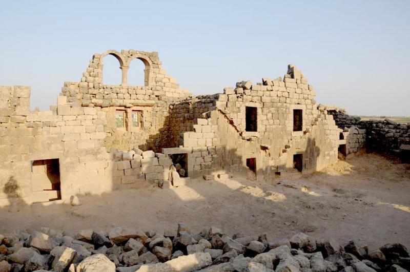
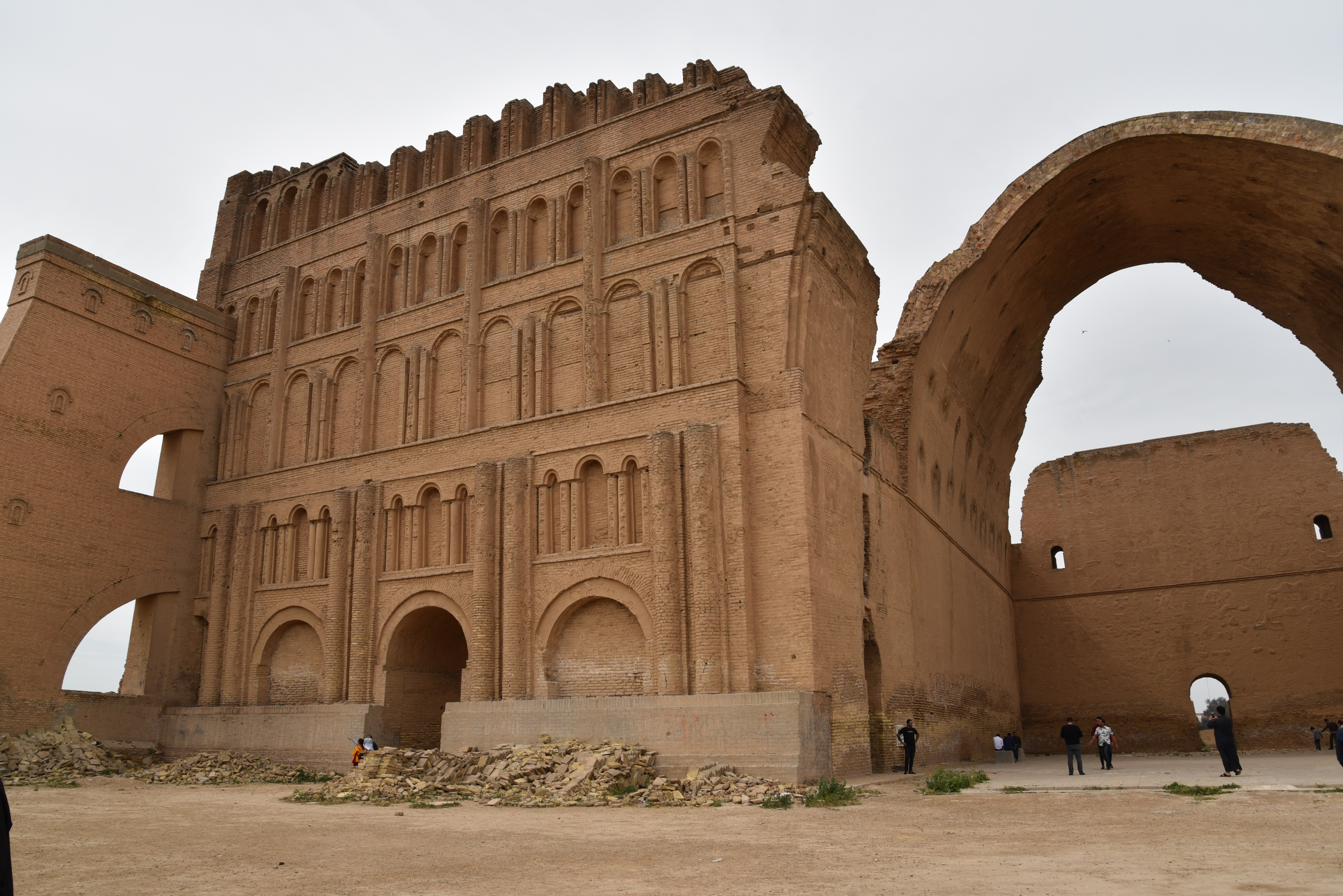
The pressure on land and underwater has never been greater – for food, water, natural resources and places to live. This means that fragile archaeological sites are under great threat, more than any other time in human history.
Publicly available satellite imagery – Google Earth, Bing, and Apple maps especially – is crucial for rapid documentation. The results can be enhanced by the examination of vertical and oblique aerial photos, as well as more detailed drone and ground imagery. Laser scanning is not available to everyone, but when it is, the results are impressive (Figure 1a and 1b below). Underwater photography and seabed mapping provide essential detail on submerged sites and landscapes.
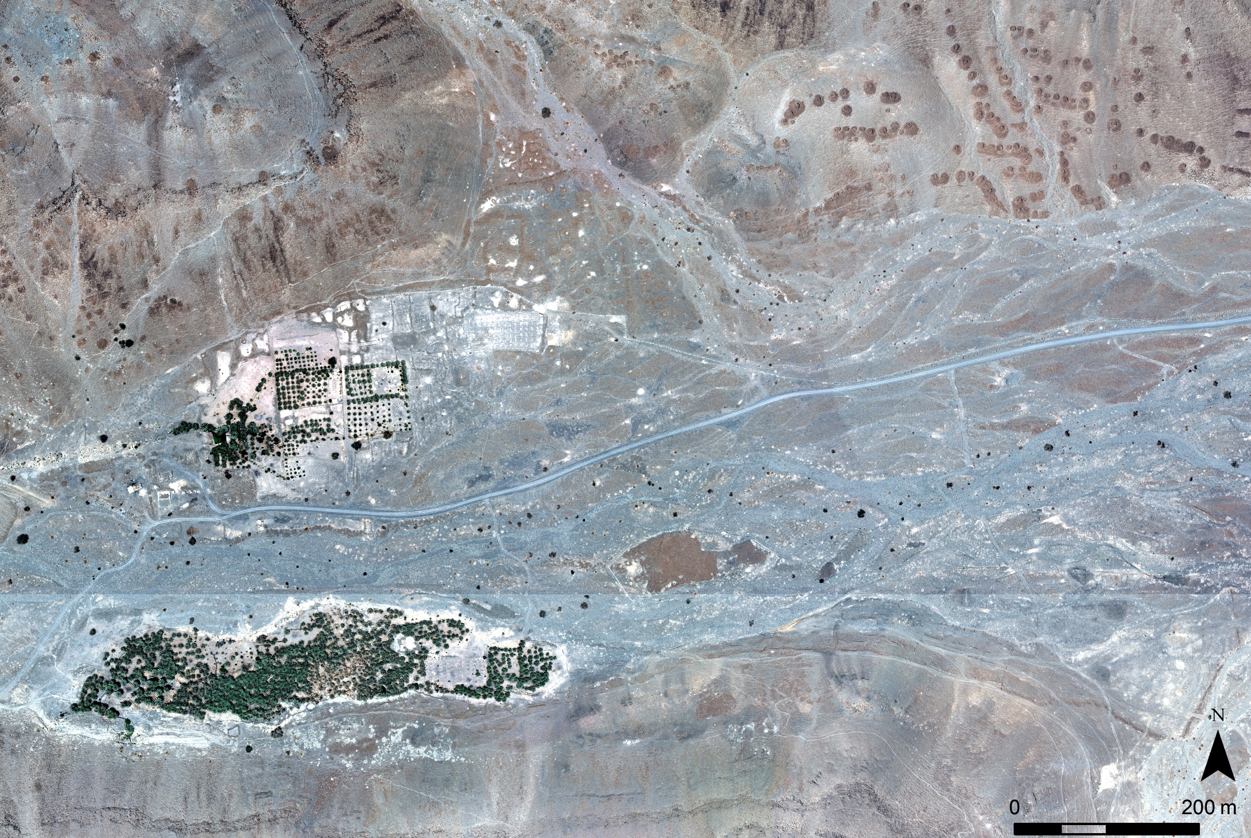
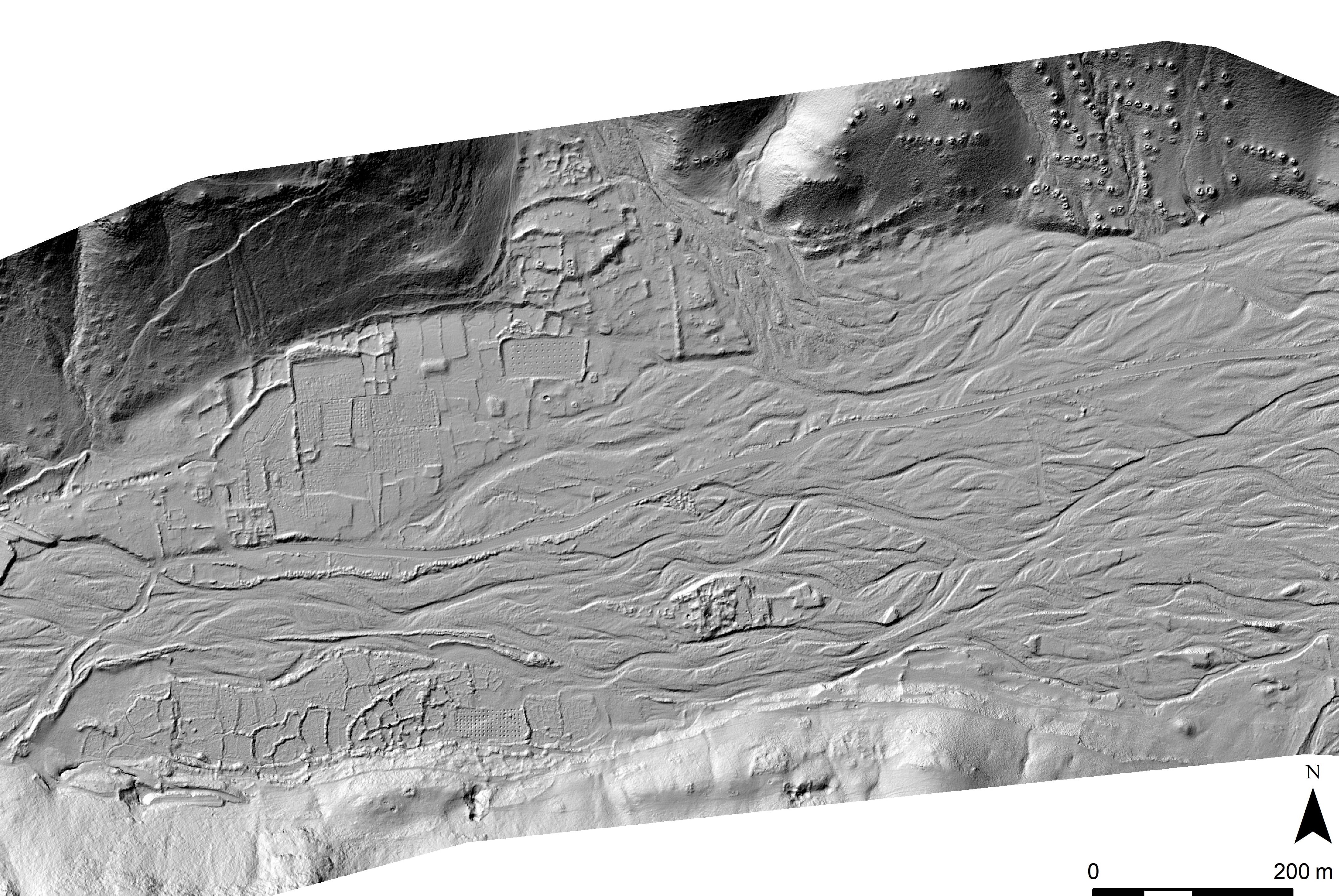
Two images showing different information: one an aerial photograph (ortho rectified), and the other a LiDAR image. The information from both images is complementary. The archaeological sites revealed include settlements of various periods (prehistoric to recent), burial cairns, medieval qanats (for water), ancient field systems and more recent date-palm plantations. The LiDAR image not only records many of these in more detail but also the field walls and drainage systems that are masked by the date-palm tree cover.
© Royal Commission for AlUla.
The case studies in this exhibition demonstrate that each of these approaches is viable in their own right. Their potential is vastly increased when they are used together.
With so many sites at risk of damage it would not be possible to visit them all. Using remote sensing we can rapidly understand, document, and visualise the cultural heritage of the Middle East and North Africa, contributing to its protection.
For the examination of the imagery to be useful there has to be an accessible record and the EAMENA and MarEA projects have created an online database.
Over 160 archaeologists in the region have been trained in remote sensing and digital documentation since 2017. For more information on the information panels, Our Culture, Our Future visit: EAMENA Exhibitions.
This exhibition has been produced as part of a training and capacity building scheme, funded by the British Council’s Cultural Protection Fund (CPF).
The EAMENA and MarEA projects have been supported by Arcadia – a charitable fund of Lisbet Rausing and Peter Baldwin, and the British Council’s CPF.